

Springfield’s 9th Street/Peoria Road corridor serves as a vital north-south connection, linking downtown with residential and medical areas, the State Fairgrounds, and a historic stretch of Route 66.
Spanning nearly four miles and multiple jurisdictions, the corridor needed a unified vision that could strengthen its identity, improve connectivity, and guide future investment.
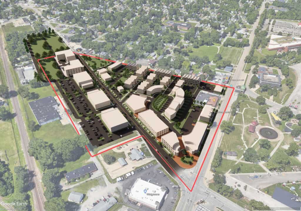
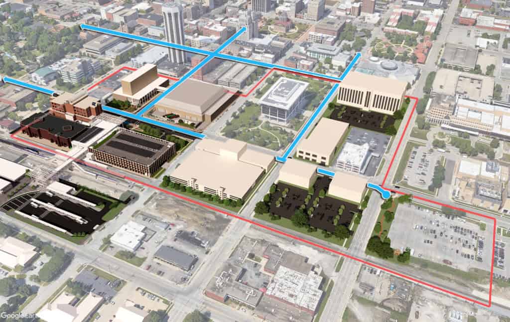
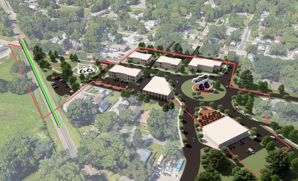
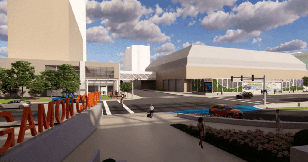
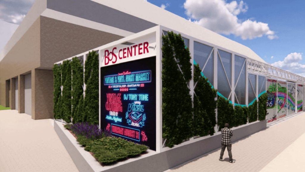
Farnsworth Group worked with the Springfield-Sangamon County Regional Planning Commission and community stakeholders to create a bold master plan that reimagines the corridor as both a destination and a vibrant gateway to Springfield. The plan combines traditional neighborhood planning principles with 3D visualization to illustrate a more pedestrian-friendly environment featuring a strong mix of uses, inviting and accessible open spaces, and diverse housing opportunities.
The master plan provides a practical road map for coordinating improvements among the various authorities with jurisdiction throughout the corridor. Its clear, visual format also gives community leaders a versatile tool to support developer recruitment, funding requests, budgeting, marketing, and public outreach.
The visualization-based approach and planning principles were strongly embraced by SSCRPC and participating stakeholders, providing Springfield with a shared vision for transforming an important transportation corridor into a more connected, inviting, and distinctive place for residents, businesses, and visitors.