Surveying
Farnsworth Group has provided land surveying services for more than a century. Our survey managers take pride in delivering high‑quality work that is accurate, consistent, and responsive. By combining technical expertise with efficient field operations, we support projects of all sizes while maintaining a strong focus on schedule, budget, and quality control.
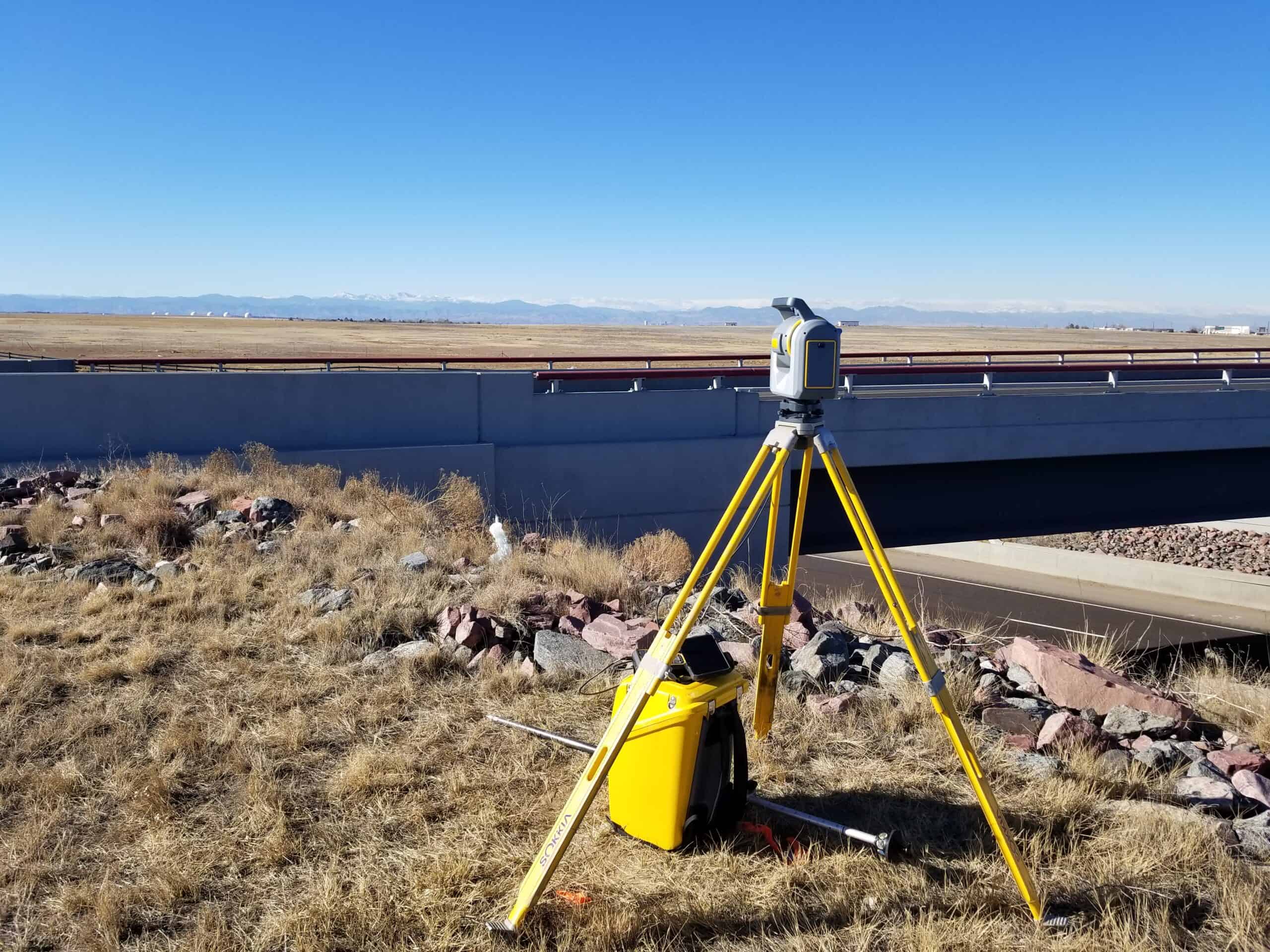
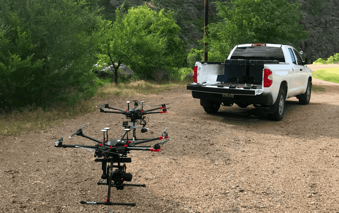
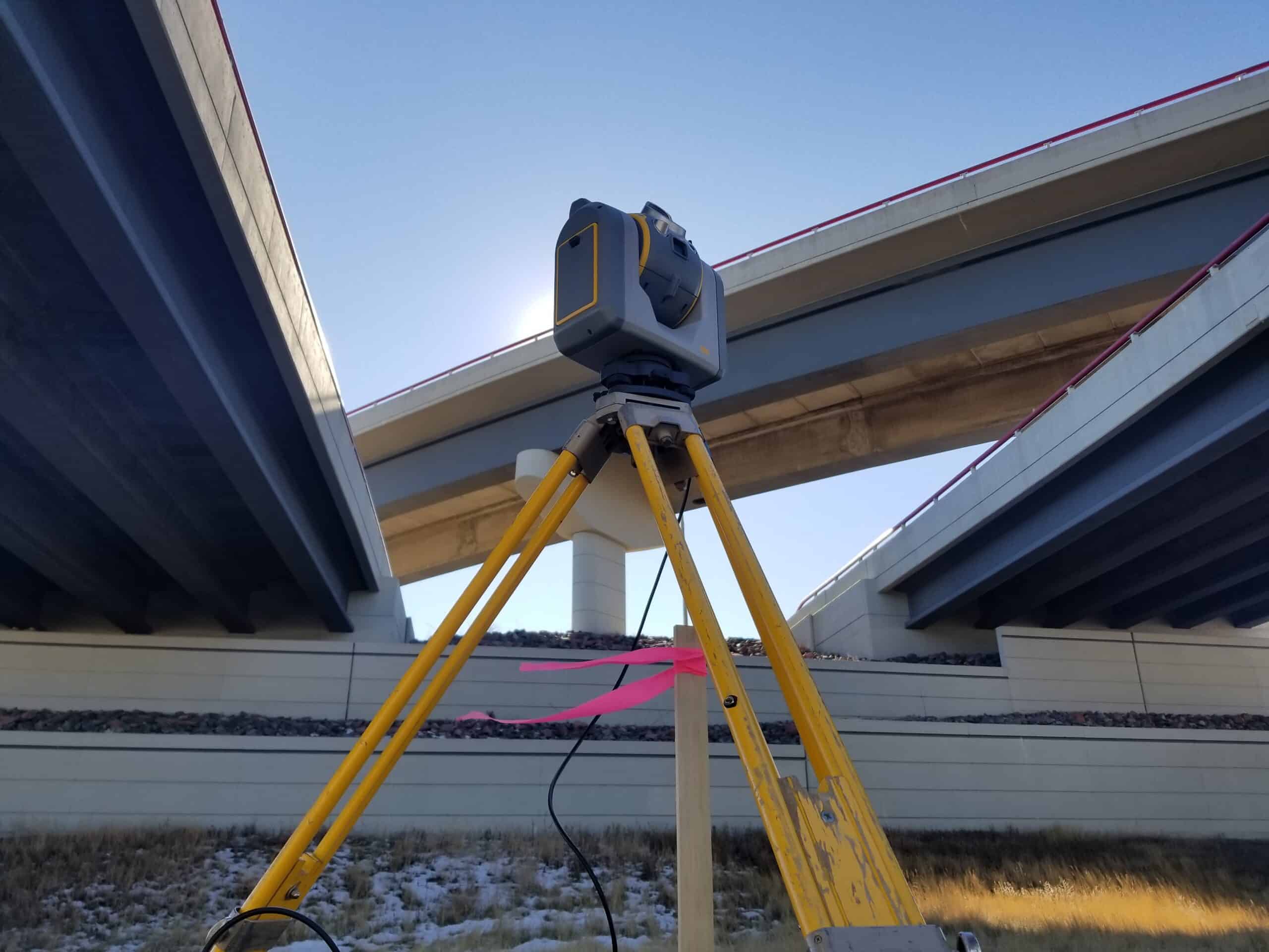
Our survey teams utilize advanced GPS, drone and robotic total station technology to collect precise data in a wide range of environments. As part of a full‑service, multidisciplinary firm, our survey professionals work closely with engineers, planners, and designers, providing critical information that informs decisions and reduces risk throughout the project lifecycle.
Services
- Boundary, Topographic, and ALTA Surveys
- Construction Staking and As-Built Surveys
- Right-of-Way, Easement, and Platting Services
- Subsurface Utility Engineering (SUE)
- Survey Data Integration and CAD Deliverables
Public & Private Clients
Farnsworth Group’s surveying experience spans public and private sector projects, including municipal infrastructure, transportation corridors, utilities, land development, and industrial facilities. Long‑standing client relationships are built on trust, reliability, and the ability to deliver consistent results across diverse project types.
Areas of Expertise
Boundary / right-of-way surveys
American Land Title Association (ALTA) land title surveys
Topographic design surveys
Subdivision plats
Construction staking or layout
Route alignment and right-of-way surveys for roads, highways, railroads, and utilities
Data acquisition for geographic information systems (GIS)
Subsurface Utility Engineering (SUE) Investigations
Unmanned Aerial Vehicle Systems (UAVs)
Tax increment financing (TIF) district, zoning, annexation and corporate limit maps and descriptions